この旅について
Dragon Head Pass Ruins Hike (June-November)
Start along the ruins of the thousand-year-old ancient city wall up the mountain, winding nearly ten kilometers along the mountainside, with a wide view of Erhai Lake most of the way. It feels more like the most beautiful section of a thousand-kilometer ancient pilgrimage road. You walk on a forest trail high in the mountains, walking for a long time, very pleasant. Elevation gain of about 500 meters, total distance of 11 kilometers, a moderate and comfortable distance that most people can complete.
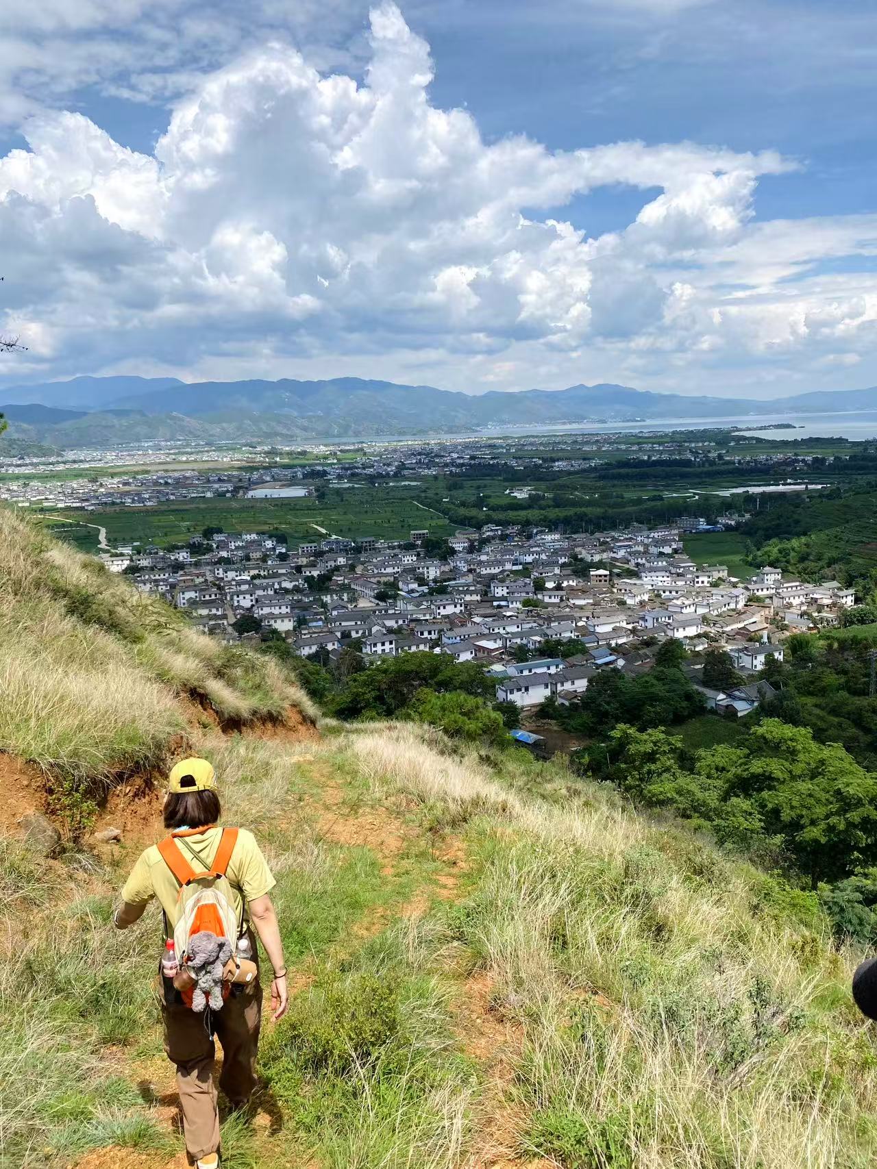
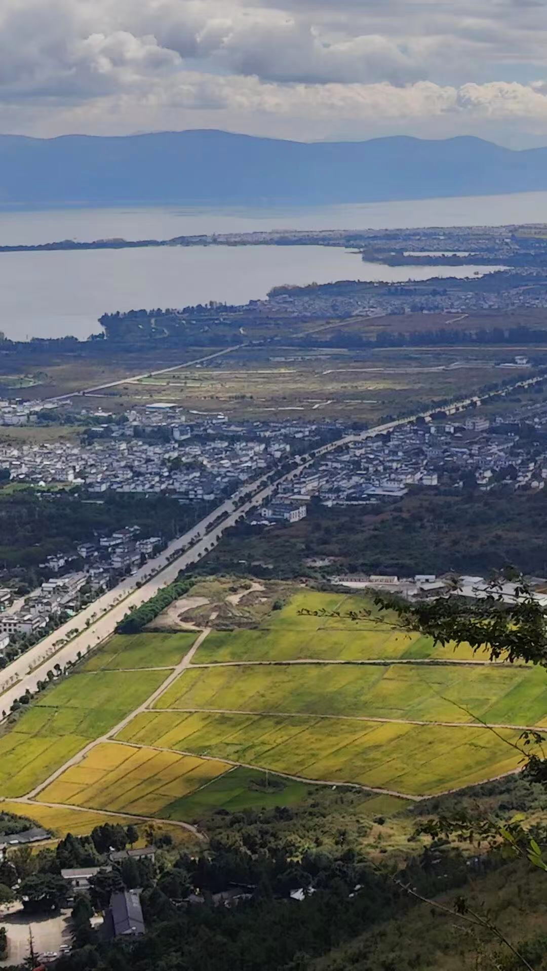
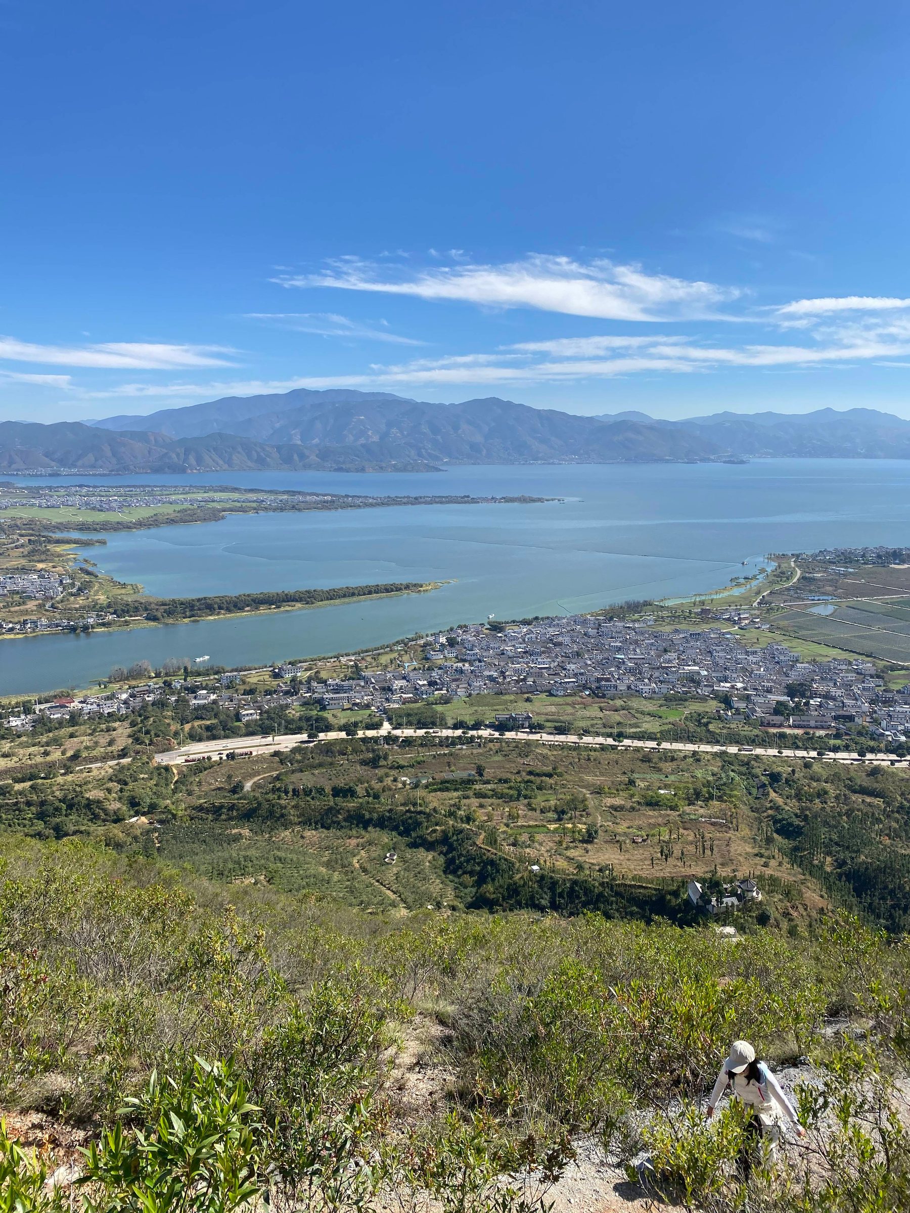
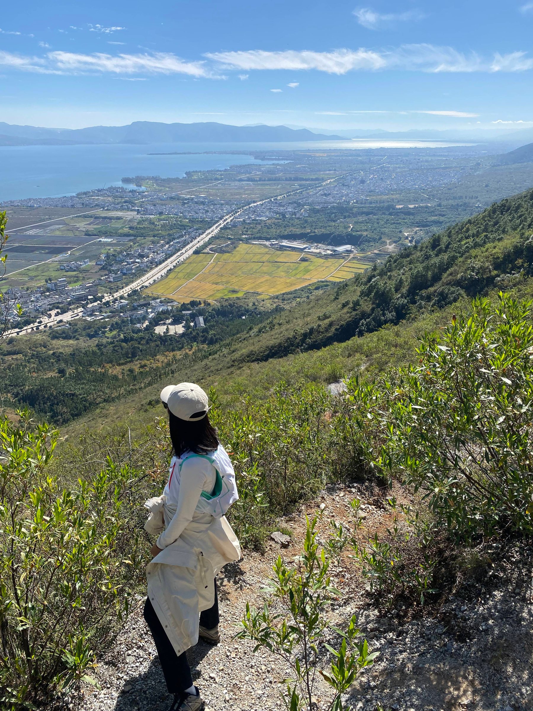
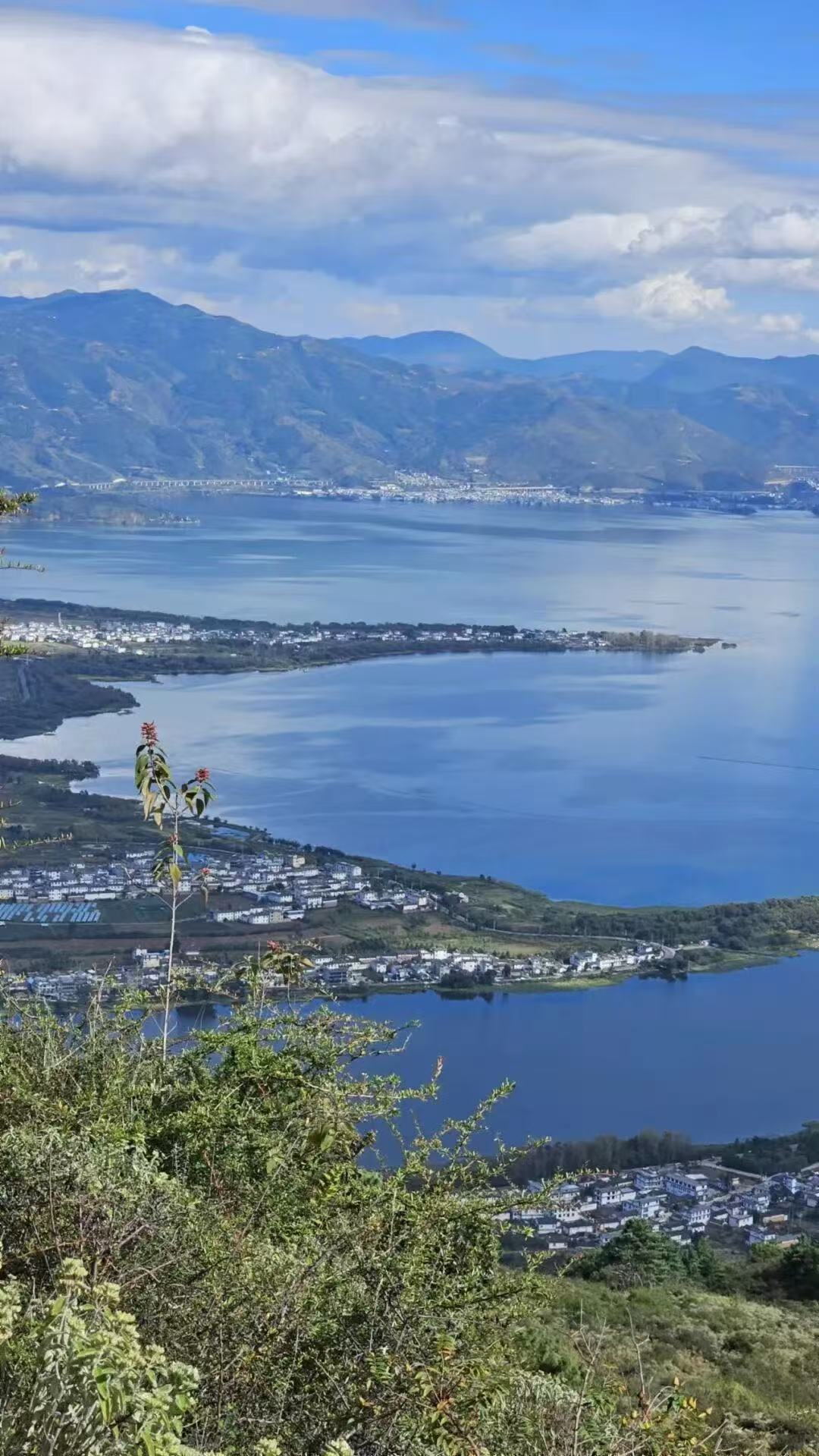
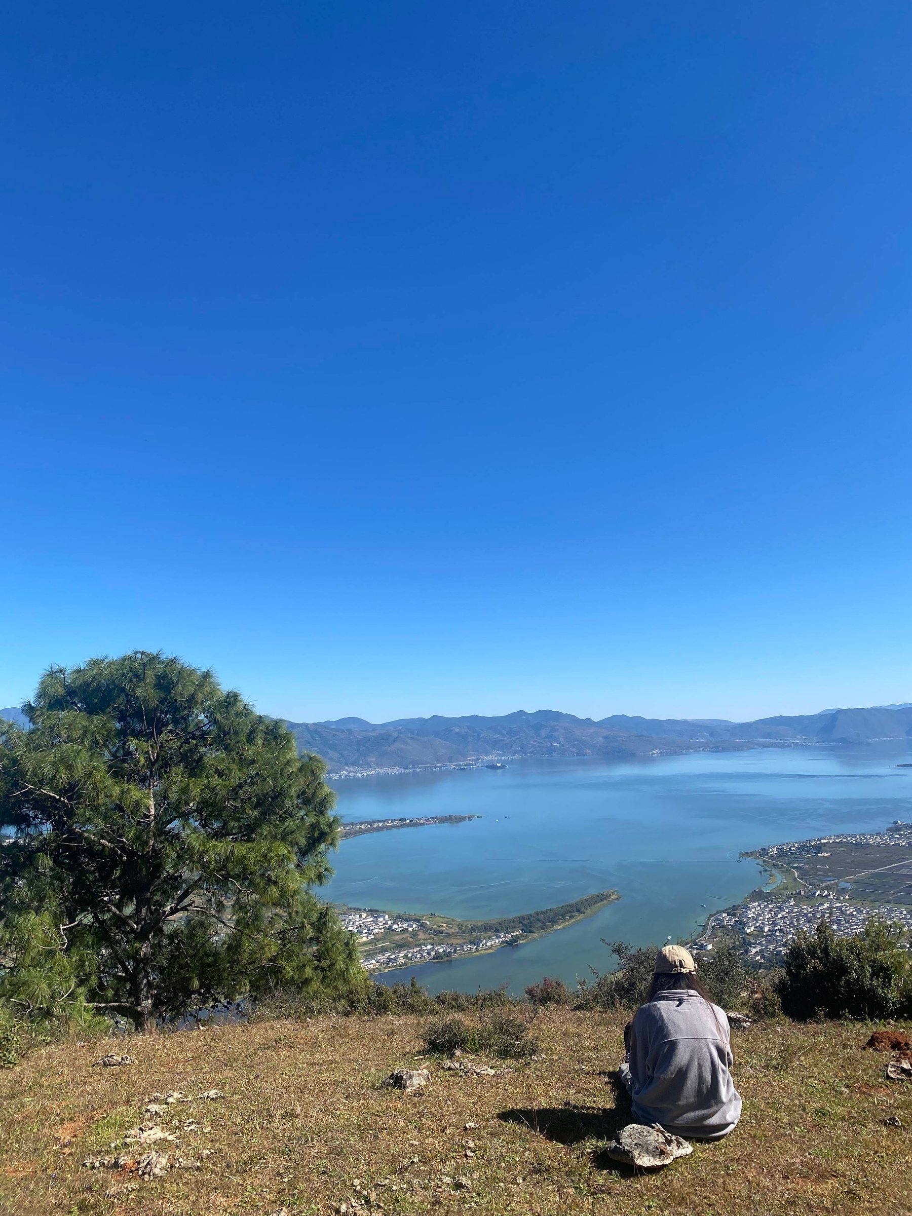
Along the way, large hillsides, forest meadows, overlooking the entire Erhai Lake and the open area of Dali, large colorful terraced fields, traditional Bai villages. This is the first route on Cangshan that I have walked, a moderate distance, satisfying and with an open view all the way.
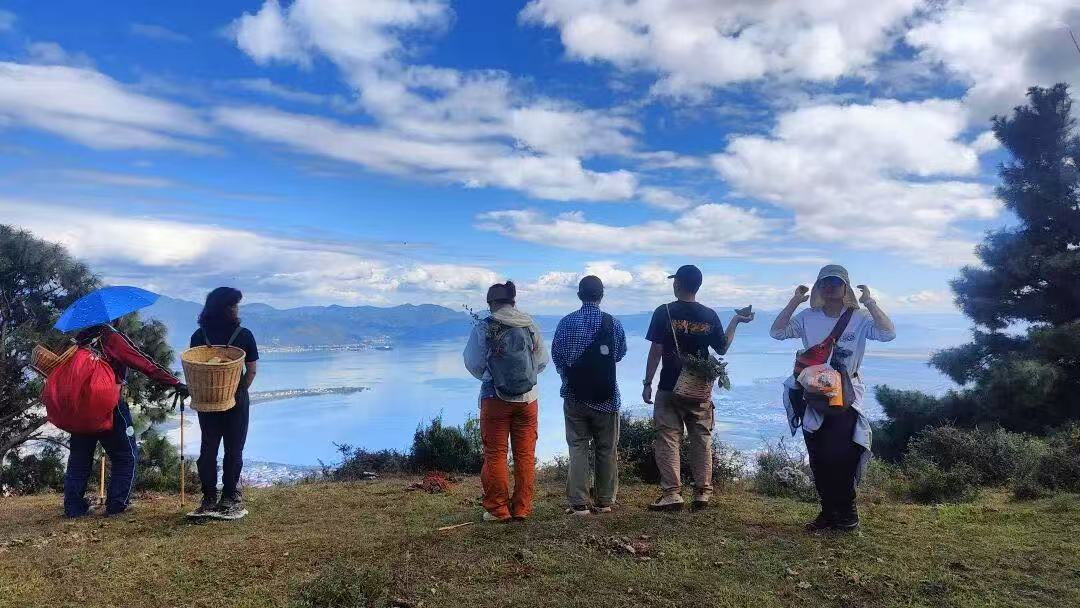
This route was discovered by Brother Ding, whose family lives in the village at the foot of the mountain. He knows this area well, both the routes and the plants. He is 67 years old but walks briskly on the mountain paths and speaks vigorously. I have known him for nearly two years, and he has been a volunteer for a nature organization. A while ago, I met a friend who hiked with him, and he praised this route highly. I followed Brother Ding on this hike and not only found it correct but it greatly exceeded my expectations.
In ancient times, Cangshan was the natural barrier of the Dali Kingdom, with the southern end called Dragon Tail and the northernmost end called Dragon Head, defending against attacks from Turpan, Mongolia, and other states in the north, hence the name "Dragon Head Pass."
Itinerary:
9:30 Depart from SIMPLE STONE BAKERY in Dali Ancient City
13:00 Lunch in the forest meadow (bring your own trail lunch); the guide will prepare tea
16:30 Descend the mountain
17:00 Return to the ancient city
Times may vary slightly depending on actual conditions.
Elevation gain of 500 meters, distance 11 kilometers, requires some physical strength but not necessarily strong.
This route is very easy to describe, and although photos are far from the feeling of actually walking on the road, they are enough to show its charm.
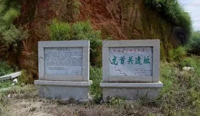
Our starting point is the Dragon Head Pass Ruins. This thousand-year-old ancient city ruins were once the northern gateway of Nanzhao and Dali, used to defend against the Tubo regime, including the Mongol invasion at the end of the Song Dynasty. Due to its location at the narrowest point between Cangshan and Erhai, it was easy to defend but hard to attack. More than ten years ago, the millennia-old city wall, due to the construction of National Road 214, was violently demolished for convenience by the construction company, disregarding the objections of the cultural relics management department, creating a large gap and breaking through two walls in succession. It is also a microcosm of the treatment of historical culture since the founding of the country.
Our hike starts from this breach in the historical site on National Road 214.
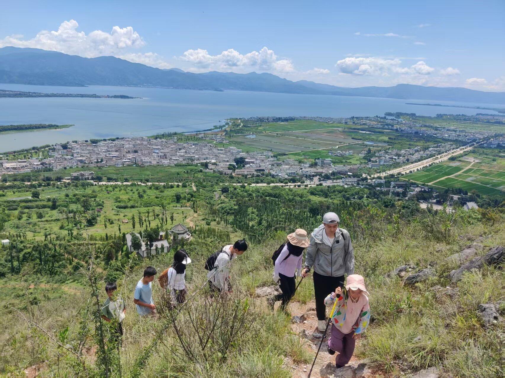
Passing by an apple orchard at the foot of the mountain, we walk along the inner wall of the ancient drill ground up the slope.
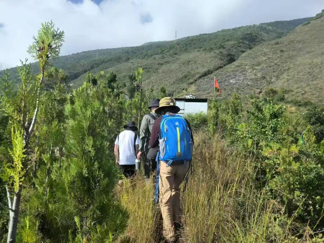
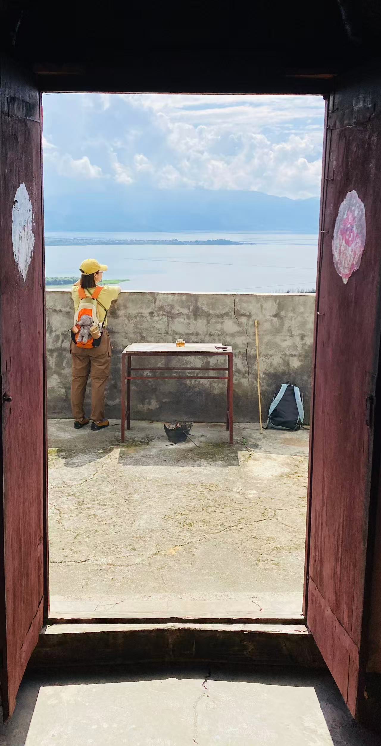
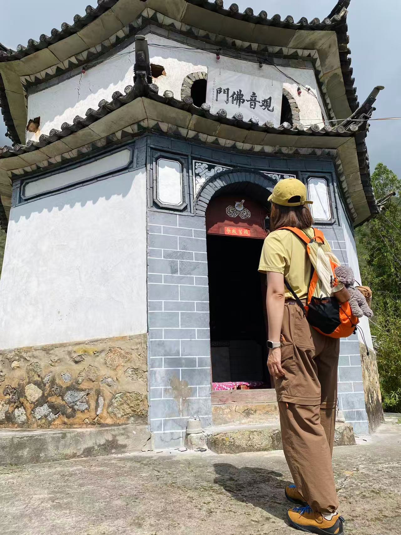
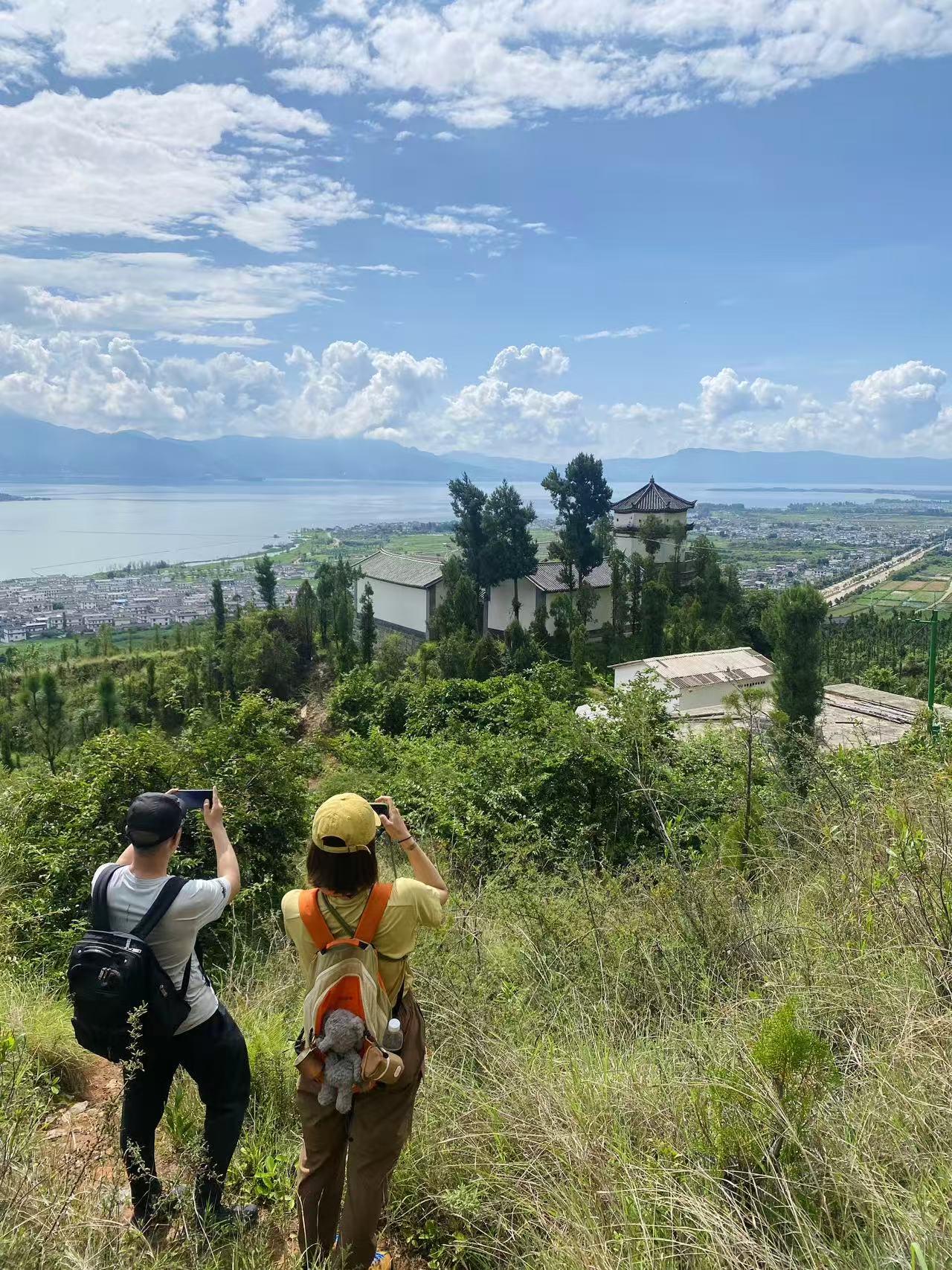
Soon after, passing the octagonal tower used for lookout in old times, the view begins to open up.
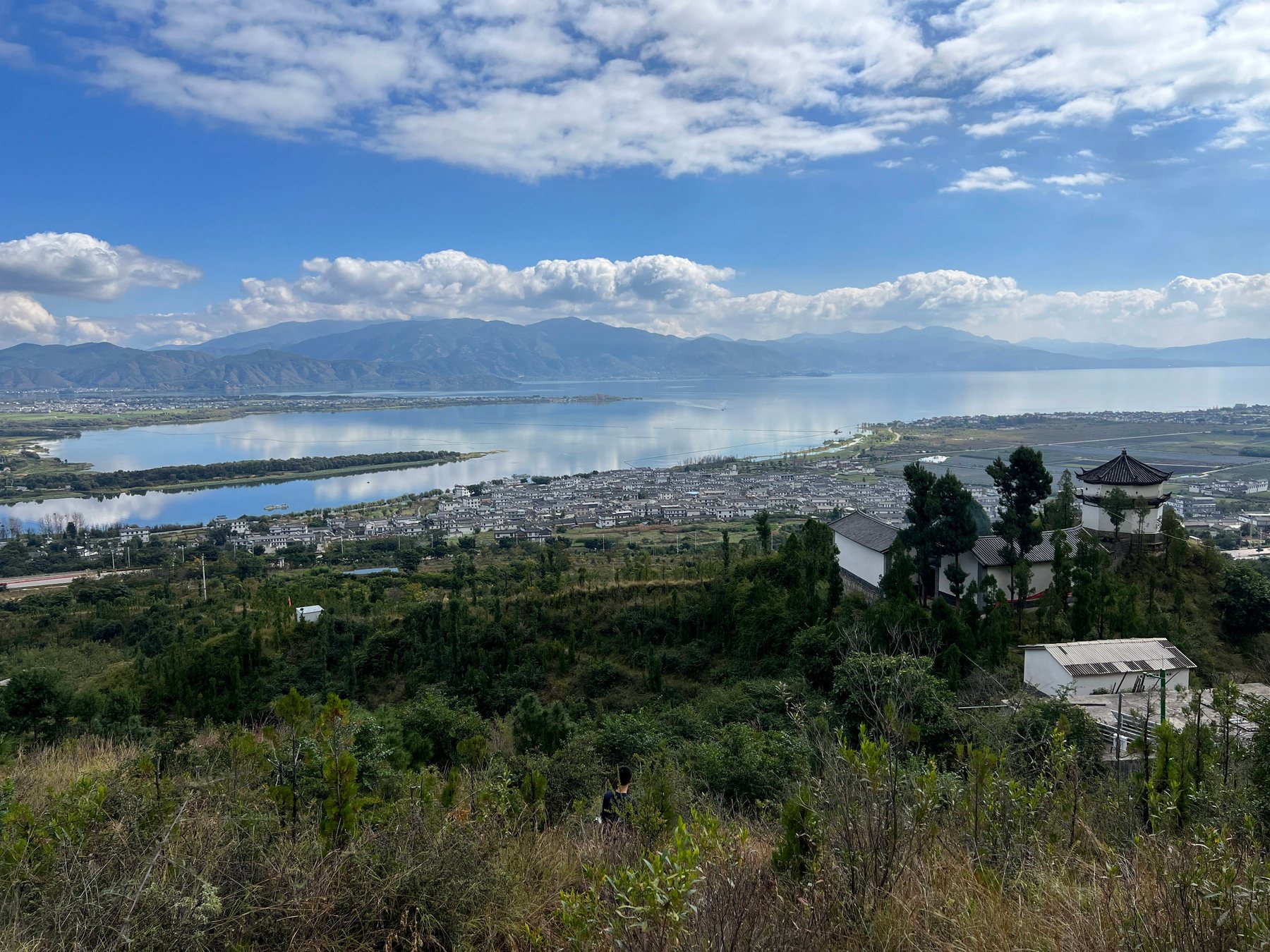
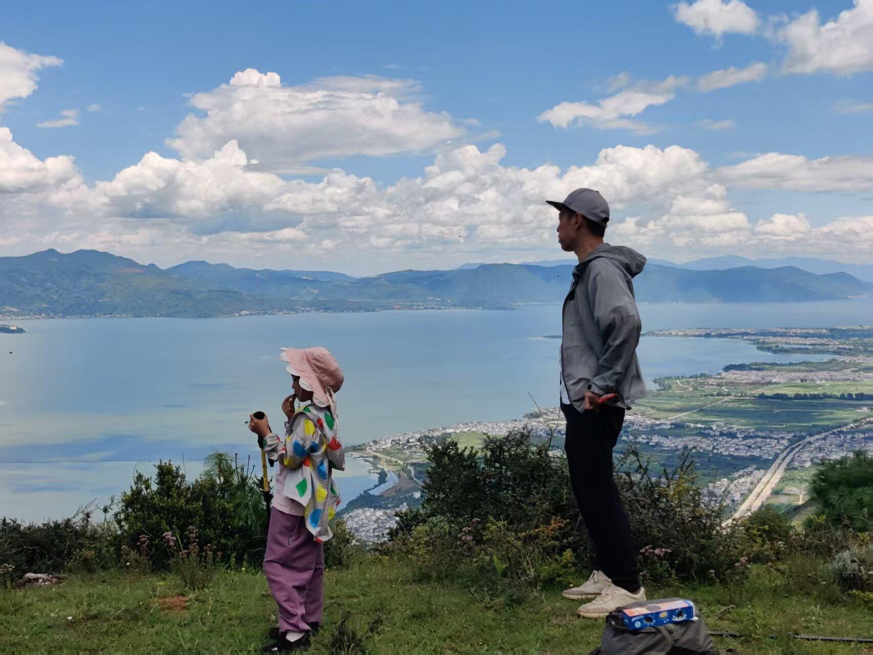
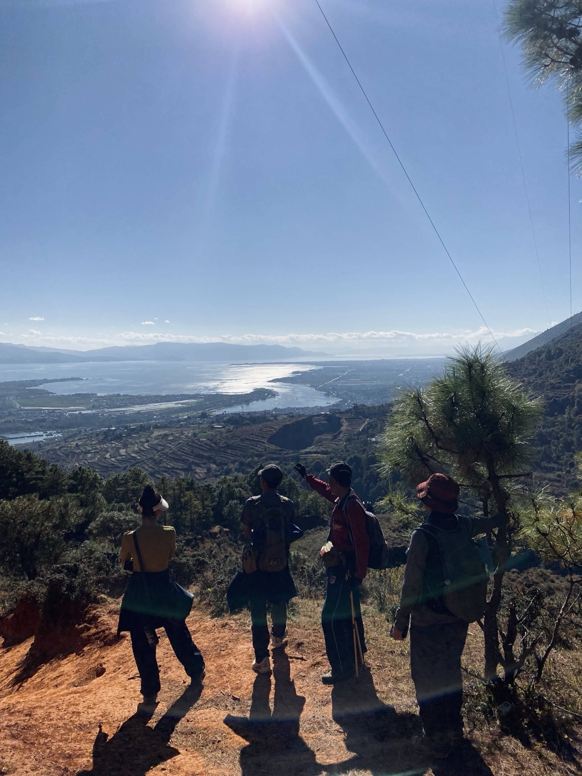
Halfway up the mountain, we can overlook farmland, villages, and Erhai Lake over a larger area.
After ascending 500 meters in elevation along a steep slope, the main uphill section of today ends, and we start heading north, walking on a flat road along the mountainside. The views along the way are magnificent; even for those who live in Dali all year round and walk on Cangshan, this is a first-time experience.
Such a view alone is already stunning, but this route offers much more. We will pass a cliff midway and reach a forest meadow and woodland. We will rest and have lunch here.
Continuing forward, we head to a village across a valley, visible from afar. The roadside flowers and plants are diverse, and we occasionally encounter cattle and sheep.
The village we are heading to is in the upper left corner of the picture below.
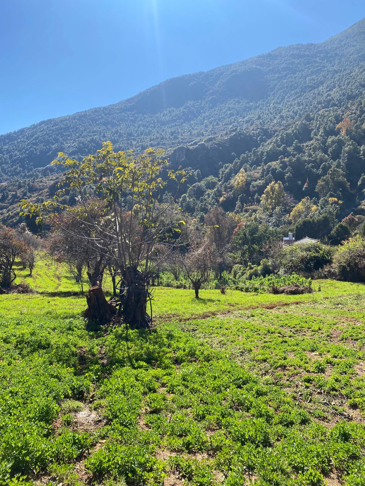
Various flowers and plants, slightly different from those on Cangshan near the ancient city.
Mushrooms collected at the end of the rainy season (October 25)
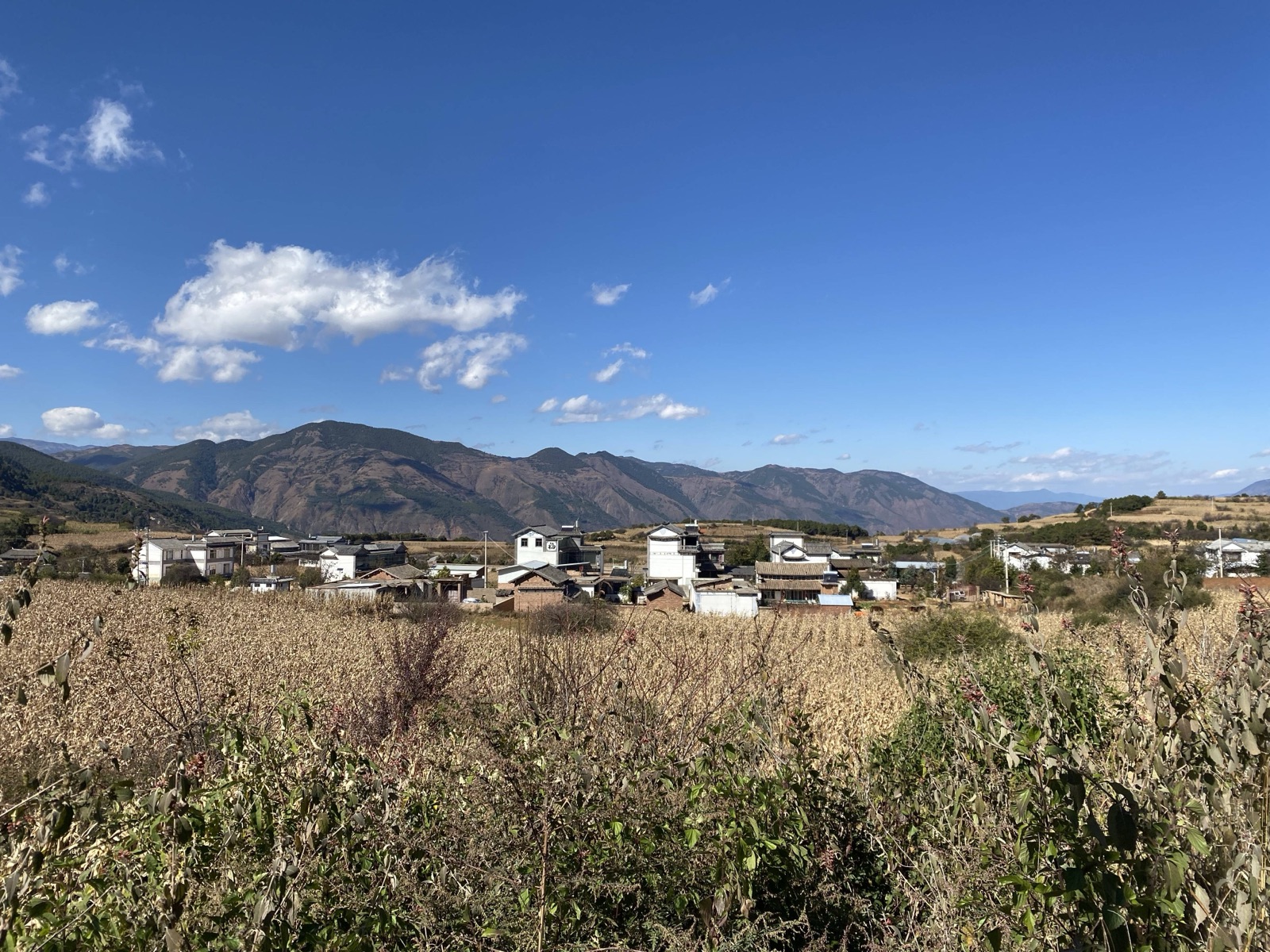
The village we passed at the summit
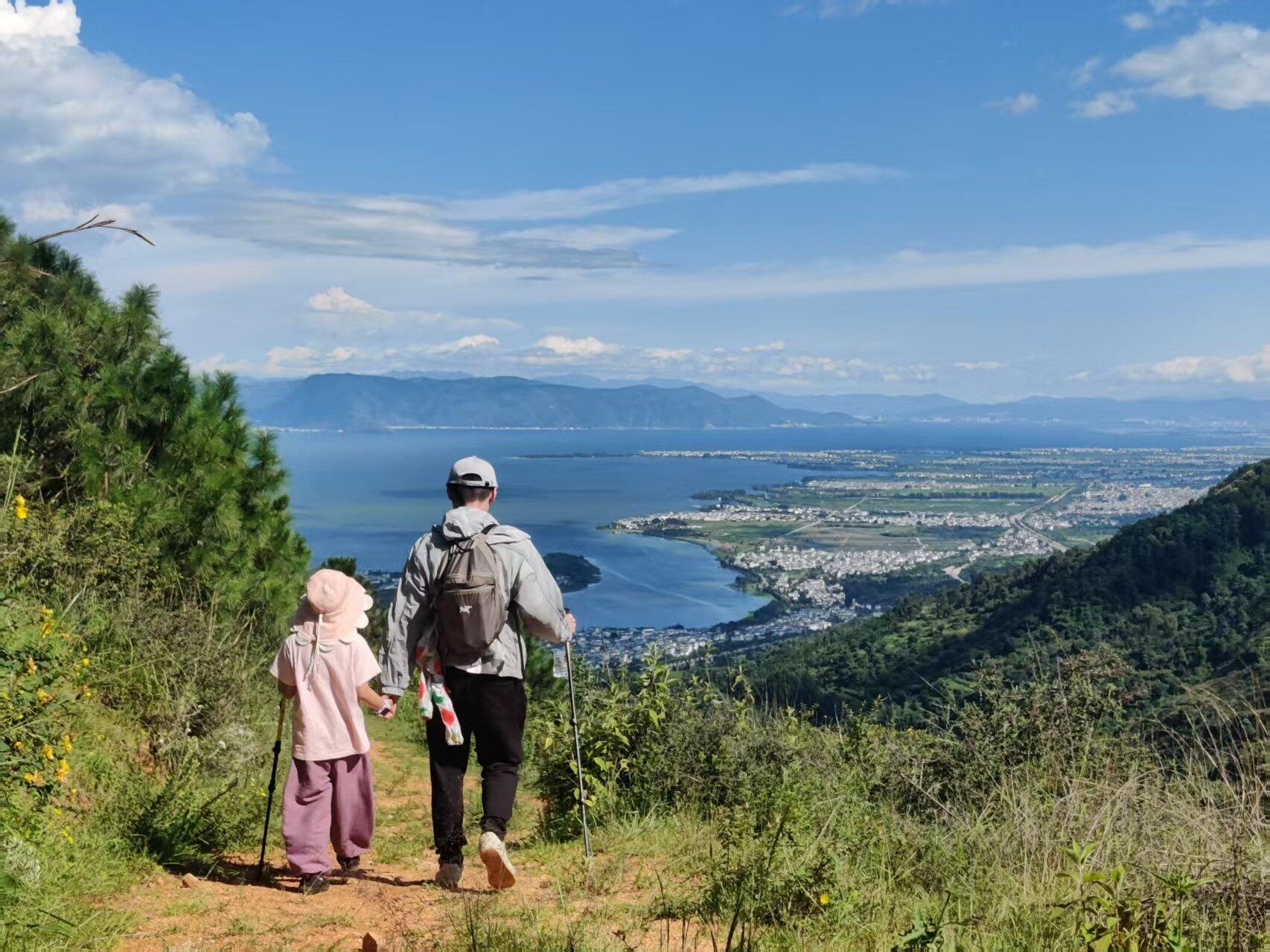
Scenery during the descent
In the off-season of winter, we stroll through the villages on the mountaintop, wandering between fields and villages, gazing at the distant Erhai Lake.
Due to changes in the winter route, the itinerary is shortened, but this allows us to explore the villages on this corner of Cangshan in depth. During the most leisurely season in Dali, agricultural activities such as pruning trees and composting are carried out in an orderly manner. We can see villagers driving sheep into the mountains and letting them graze freely until the real winter arrives.
Itinerary:
10:00 AM: Depart from SIMPLE STONE BAKERY in Dali Ancient City
1:00 PM: Lunch in the mountaintop farmland (bring your own lunch); the guide will prepare tea
3:00 PM: Descend the mountain
4:00 PM: Return to Dali Ancient City
Depending on actual conditions, the time may vary slightly.
Elevation gain of 400 meters, distance 7 kilometers, generally doable for people with average fitness.
Winter Light Hike Record 2024.12.10:
Your browser does not support the tag.
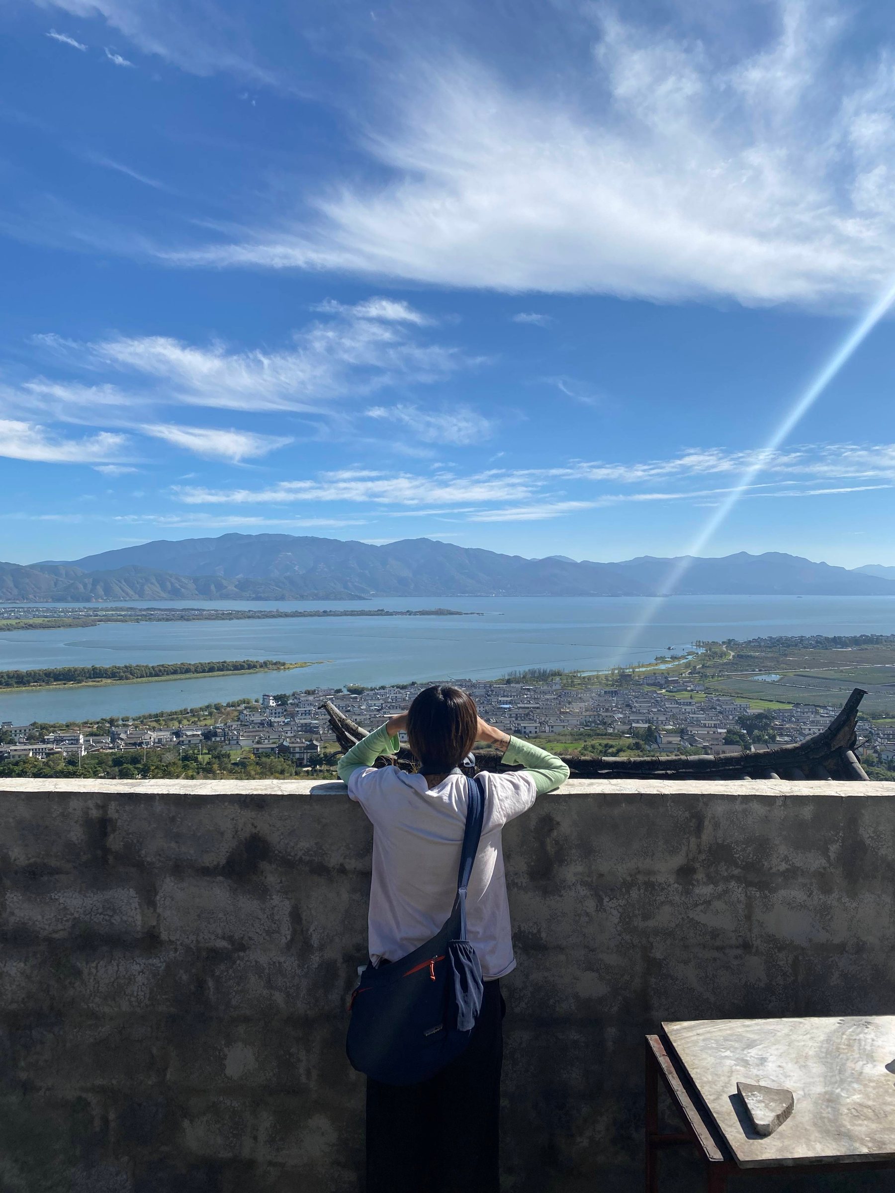
Gazing at the villages and fields below
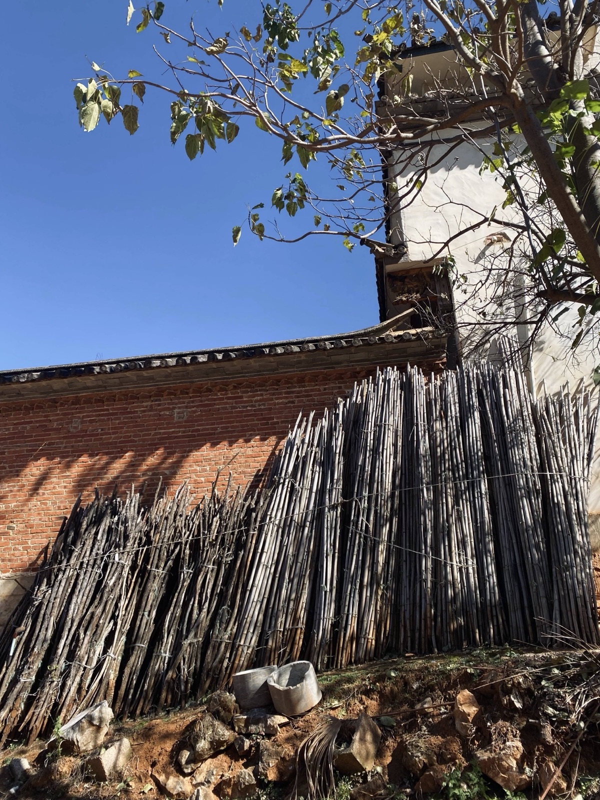
Dali's colorful winter
Villages in the fields
Photos